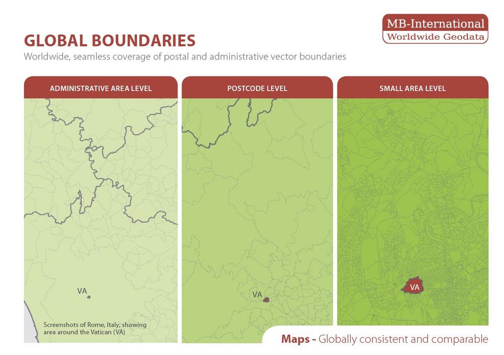
Every year there are several changes at postal and administrative area levels. The new released boundary update now contains all revisions. Companies can use the current data in many different aspects of business applications for example in Geomarketing, Social Media Marketing or Business Intelligence.
Mr. Roberts-York, Managing Director of Michael Bauer International says: “We currently provide data to most of the cross-border retail companies globally, to leading social media companies for advertising marketing and geofencing and our boundary data is imbedded in the world largest BI solutions. As a manufacturer of international data we know about the requirements for the data. Therefore, companies from all industries globally trust the quality of our data. We ensure these standards through strict and continuous quality controls as well as releasing annual updates.”
Key characteristics of the current boundary data are: Globally consistent and seamless, all countries datasets have the identical data structure, vintage comparability between boundaries and MBI data, simple to update by uniform layout of the layer names, the higher-level area hierarchies are included and vector format to allow visualization in any zoom levels.
Some examples of the changes per continent:
Africa:
administrative: Morocco 1.687, South Africa: 234
postal: Morocco 1.793, Tunisia 117
Asia:
administrative: Nepal 77
postal: China 44
Europe:
administrative: Estonia 213, Norway: 54, France 59
North America:
administrative: Canada 5.162
MBI supplies the approximately 527.500 vector-based boundaries for 248 countries in the standard GIS formats Esri shape file (.shp), Esri Geodatabase (.gdb), MapInfo (.tab) and MapInfo (MIF/MID).
MBI offers a wide range of data products for business-critical geospatial analysis. MBI’s products include Population, Households, Age Bands, Unemployment, Consumer Styles as well as Purchasing Power, Retail Turnover and Consumer Spending on most geographical levels. They also produce and license vector postcode boundaries (ZIP), administrative boundaries and small areas maps for most countries Worldwide.
MBI is a manufacturer and reseller of their own map, socio-demographics and boundary data that strives to provide businesses who want to make better informed investment with market data.
MBI is committed to supporting their customers to achieve an effective set-up and continuous handling of their geodata. Specialized in providing tailor-made data products according to each customer’s individual requirements.
MBI’s data is used globally by GIS engineers, Marketing executives, OEMs and controllers‘ for sales targeting, expansion planning and site location analysis in a wide range of Geomarketing and Business Intelligence applications.
For more information please visit www.mbi-geodata.com
Michael Bauer International GmbH
Greschbachstr. 12
76229 Karlsruhe
Telefon: +49 (721) 1618566
Telefax: +49 (721) 94540496
http://www.mbi-geodata.de
Head of Marketing
Telefon: +49 (721) 46470342
Fax: +49 (721) 94540496
E-Mail: nadja.schwannauer@mbi-geodata.com
