Release 2025 – Continuous Data Updates & Highlights
At MBI, we are excited to announce the release of our Digital Boundaries 2025. Our data offering is continuously updated, as countless boundary changes and reclassifications occur worldwide, making regular updates essential. At the same time, we are expanding our portfolio by adding new boundary levels in various countries. Two key examples illustrate this development:
- Italy: The number of available Census Areas has nearly doubled with the addition of a micro-geographic layer containing 748,375 Census Areas
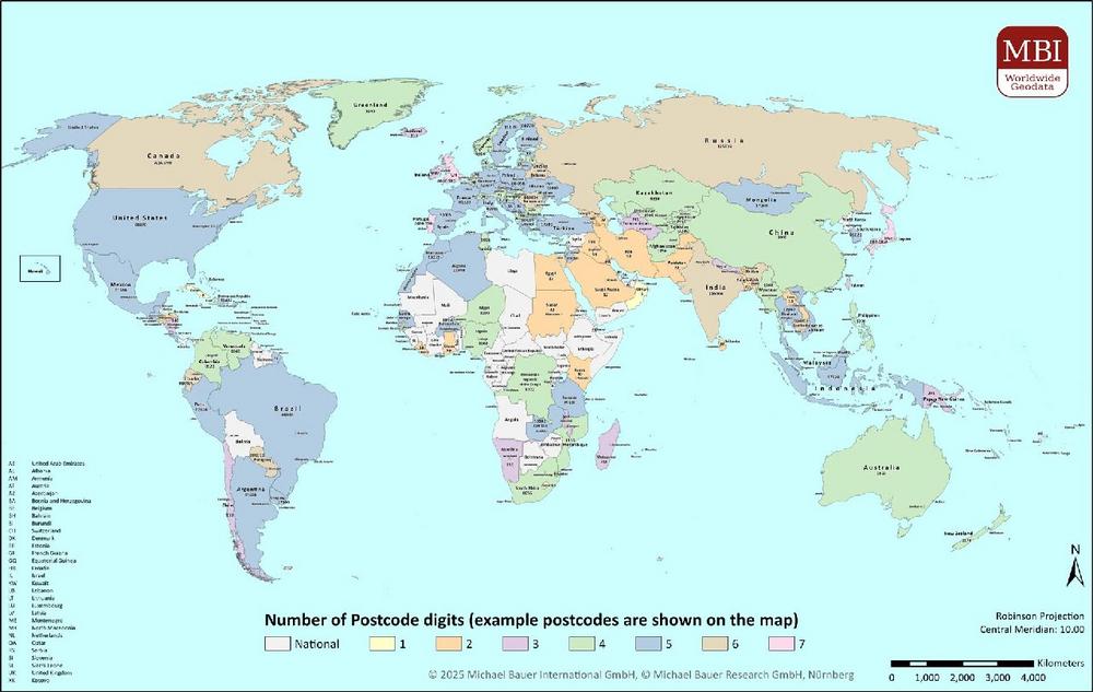
- Canada: In addition to 3-digit postal codes, we now provide 6-digit postal codes with over 800,000 areas, allowing for even more granular analysis.
Significant updates have also been made in many other countries due to administrative reforms, key changes, or other influencing factors:
- Changes in the number of areas: Countries like Poland have seen an increase in administrative and micro-geographic units, while in the United Kingdom and the Netherlands the number of postcode areas has grown.
- New layers added: In Serbia, we have introduced a micro-geographic layer with over 40,000 Census Districts, and in Croatia, a new layer featuring approximately 30,000 Census Circles. These additions support location planners and marketing strategists in precisely analyzing catchment areas and regional consumer trends.
- Adjustments due to key changes: Several countries, including Norway and the United Kingdom, have been updated to reflect the latest administrative structures following significant key changes.
Available Data Formats for Your GIS Applications
Our vector-based layers are available in a wide range of formats to ensure seamless integration into your existing GIS systems, including:
- Esri Shapefile (.shp)
- Esri Geodatabase (.gdb)
- MapInfo (.tab, .tabx)
- MapInfo MIF/MID
- GeoJSON and more.
Global Perspective and Added Value for Your Business
With our continuous data update process and the addition of further layers we provide you with the opportunity to conduct in-depth, accurate, and up-to-date geospatial analyses. The Digital Boundaries Release 2025 lays the foundation for efficient planning and strategic business decisions.
For globally operating companies, having access to consistent and up-to-date geospatial data worldwide is invaluable—only then can business activities across different countries be compared reliably. Our territorial boundaries are seamlessly aligned and guarantee that even in cross-border analyses, no gaps or overlaps arise. “We are committed to providing the best possible data foundation for globally active companies,” explains Ray Roberts-York, Managing Director at MBI. “With so many countries worldwide, keeping track of all changes and maintaining an up-to-date dataset is an incredibly complex task. Fortunately, our experienced team of data specialists, who have been preparing digital boundaries for years, is taking on this challenging project. So today, we’re proud to present our updated 2025 borders — and we’re confident that our customers will get the best results from this data.”
Don’t hesitate to contact us for detailed information on pricing and licensing models, whether for individual countries and products or our attractive package prices for the entire global dataset. Our sales team is happy to assist you in leveraging MBI’s global digital boundaries for your unique requirements.
Being a specialist for small-scale data for Geomarketing, Michael Bauer International has grown to one of the largest global data providers for over ten years. MBI unites passion and scientific know-how to provide globally consistent and comparable geographic, market and risk data.
Today MBI is not only recognized as a key data source but is also the preferred data provider for the largest leading GIS software and technology companies globally. For a vast variety of companies, MBI’s data is the foundation for location-based questions related to company locations as well as branch and distribution networks. MBI mobile data offers valuable insights into the global consumer behavior and their customer journey. Companies from all industries are supplied with up-to-date data for market analyses and visualization by MBI, to take informed and data-based decisions.
With CONIAS Risk Intelligence, we provide in-depth and data-driven information about the current and emerging dynamics of political conflicts worldwide. We support internationally operating companies and organizations in identifying political risks to location, logistics and investment security at an early stage and in developing targeted adaptation strategies.
MBI is one of the first global HERE Technologies Distributors as well as “Global HERE Distributor of the Year 2023”. HERE is the leading provider in the development of digital maps and location-based services.
Both Michael Bauer Research GmbH and Michael Bauer Micromarketing GmbH are part of the Michael Bauer Group.
For more information, please visit www.mbi-geodata.com.
Michael Bauer International GmbH
Greschbachstr. 12
76229 Karlsruhe
Telefon: +49 (721) 1618566
Telefax: +49 (721) 94540496
http://www.mbi-geodata.de
Marketing Assistant
![]()